The historic character of Cromford is predominantly one of an Estate village where common materials and details were employed by a single landowner, although there are exceptions to this.
The village expanded rapidly between 1771 when Arkwright first arrived in Cromford and 1840 when most development ceased. It developed further in the latter half of the 20th century although this did not overly affect the historic core, which remains remarkably well preserved.
Although Cromford is primarily associated with Richard Arkwright - one of the most significant figures of the Industrial Revolution - its earlier origins lay in agriculture and lead mining. The dramatic relationship between the built structures and the landscape setting is one of its most marked characteristics.
At its heart lie the industrial core of mill buildings threading their way through the valleys, accompanied by complex systems of water management and control. Locally quarried deep pink grit-stone has been used historically, especially on the long terraces of workers housing which line North Street and The Hill, with Staffordshire blue clay tiles used on many roofs.
While the majority of buildings are constructed in stone there are also examples of brick buildings including Masson Mill, the Bell Inn on North Street, Building 19 at Cromford Mills and several coach house and more utilitarian buildings around the village. A large number of historic ancillary structures and spaces remain such as privies, pig-cotes, cow-houses and allotments.
Extent of the Conservation Area
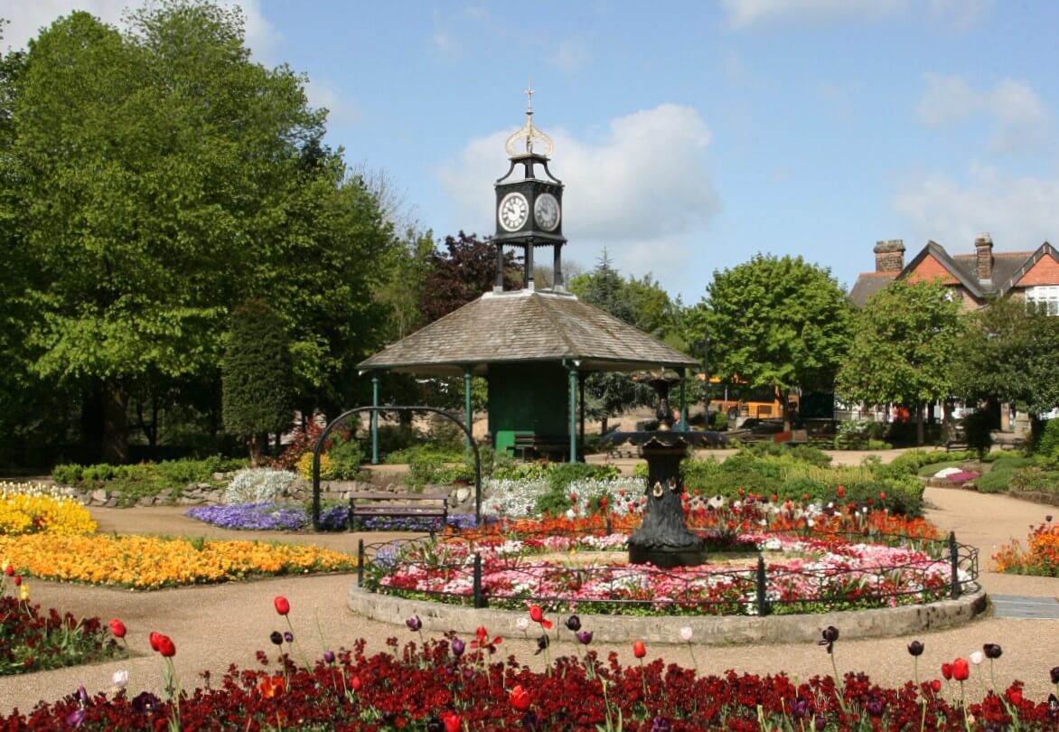
Cromford is a predominantly urban village, but set with a much wider rural landscape, with industrial and historic connections. The Cromford Conservation Area includes the settlement and the cotton mills developed by Sir Richard Arkwright and the Arkwright Estate between 1771 and 1840.
It also includes the terminus of the Cromford Canal, the settlement known as South End just to the west of Masson Mill and the wooded valley above Bonsall Hollow where the Bonsall Brook flows. The Conservation Area extends over the river to the eastern and northern banks of the River Derwent and includes landscaped parkland and estate of Willersley Castle and then descends to the east to include Cromford Station, part of the 1849 railway line and Cromford Meadows. To the south the boundary ends just uphill of Barnwell Lane, near the current entrance to Dene Quarry.
The original designation of Cromford Conservation Area was in January 1971. The boundary was further amended in 1978, 1990 and again in September 2007 following a review of the boundary in the Conservation Area Character Appraisal. It currently comprises 135 hectares.
Historic Assets
Within Cromford Conservation Area there are 495 buildings, of which 88 are listed entries. Of the listed entries, 1 is Grade I (and includes all the buildings at Cromford Mills) and 7 are Grade II* including Willersley Castle, The Greyhound Hotel in the Market Place, Cromford Bridge Hall, 1-11 North Street, 14 to 29 North Street, Masson Mills and Cromford Bridge. The listed buildings in Cromford range from workers housing to public houses; from Churches and schools to grand private residences and even privies, pig-cotes and soughs. All are recognised for the contribution they make both individually and to the street-scene.
There are 2 Scheduled Monuments within the Conservation Area - Cromford Bridge, and the entrance to Long Sough west of Allen's Hill.
The Cromford Conservation Area is within the Derwent Valley Mills World Heritage Site.
The landscaped parkland and gardens of Willersley Castle are included on the Register of Historic Parks and Gardens (Grade II).
Cromford Conservation Area Character Appraisal
In September 2007 a comprehensive Conservation Area Character Appraisal was approved, which assessed the special qualities of the character and appearance of Cromford Conservation Area, both in terms of its buildings and the relationship of its spaces alongside those buildings. It assessed:
- the archaeology
- origins and development of the area
- the architectural and historic quality
- the setting and landscape of the area
- an analysis of the character
- considered the negative and neutral factors which impact on the Conservation Area
Coupled with this the document made reference to planning policies and strategies that work to enhance and preserve the special character and appearance of the town. As part of the Appraisal, alterations to the boundary were proposed and subsequently approved.
Buildings at Risk
Two of the listed entries within the Cromford Conservation Area are recognised by the District Council as being 'at risk' – The Former Fishing Lodge (Grade II) adjacent to Cromford Bridge and the Aqueduct at Cromford Mill (Grade I).
Article 4 Directions
There are no additional planning controls, via an Article 4 Direction, on properties in Cromford Conservation Area.
Related Documents
Cromford Conservation Area Map (PDF 675KB)
Cromford Character Appraisal Summary (PDF 13KB)
Cromford Conservation Area Appraisal Part 1 (PDF 3704KB)
Cromford Conservation Area Appraisal Part 2 (PDF 3489KB)
Cromford Conservation Area Appraisal PART 3 (PDF 2584KB)
Cromford Conservation Area Appraisal Reconsultation on extended Conservation Area (PDF 513KB)